
Typhoon2000 STORM UPDATE #001
Name: TROPICAL STORM 18W [MILENYO]
Issued: 7:00 AM MANILA TIME (23:00 GMT) TUE 26 SEPTEMBER 2006
Next Update: 7:00 PM (11:00 GMT) TUE 26 SEPTEMBER 2006
Source: JTWC TROPICAL CYCLONE WARNING #002
_______________________________________________________________________
Next Update: 7:00 PM (11:00 GMT) TUE 26 SEPTEMBER 2006
Source: JTWC TROPICAL CYCLONE WARNING #002
____________
THE STRONG TROPICAL DISTURBANCE NEAR THE COAST OF SAMAR
HAS STRENGTHENED INTO A TROPICAL DEPRESSION LAST NIGHT
...NOW A TROPICAL STORM 18W (MILENYO)...ENDANGERS SAMAR
AND BICOL PROVINCES AS IT DRIFTS WESTWARD.
...ALL INTERESTS IN THE BICOL, SAMAR, QUEZON & AURORA
PROVINCES SHOULD CLOSELY MONITOR THE PROGRESS OF 18W.
HAS STRENGTHENED INTO A TROPICAL DEPRESSION LAST NIGHT
...NOW A TROPICAL STORM 18W (MILENYO)...ENDANGERS SAMAR
AND BICOL PROVINCES AS IT DRIFTS WESTWARD.
...ALL INTERESTS IN THE BICOL, SAMAR, QUEZON & AURORA
PROVINCES SHOULD CLOSELY MONITOR THE PROGRESS OF 18W.
+ FORECAST OUTLOOK: 18W is expected to drift WNW to
NW'ly for the next 2 days, approaching the eastern
coast of Bicol Region. The 3 to 5-day (Sep 29 to Oct
1) Long-Range Forecast shows the storm passing close
to the North of Catanduanes Island and Caramoan Penin-
sula and veering more Westward...making landfall over
Aurora Provinces Thursday late afternoon (Sep 28),
then cutting across Central Luzon in the evening &
finally exiting over the South China Sea via La Union
Saturday afternoon (Sep 30). This storm is likely to
gain more strength due to continued favorable
environment.
+ EFFECTS: 18W's thick and developing outer bands con-
tinues to affect Northern Mindanao, Eastern Visayas
and is now covering the whole Bicol Region. Cloudy
with Moderate to heavy rains and winds not in excess
of 55 km/hr can be expected today along its outer bands.
outlook, effects & current monsoon intensity, and tropical
cyclone watch changes every 06 to 12 hours!
____________
TIME/DATE: 5:00 AM MANILA TIME (21:00 GMT) 26 SEPTEMBER
LOCATION OF CENTER: LATITUDE 11.7º N...LONGITUDE 128.1º E
DISTANCE 1: 295 KM (160 NM) EAST OF BORONGAN, EASTERN SAMAR
DISTANCE 2: 390 KM (210 NM) ESE OF CATARMAN, NORTHERN SAMAR
DISTANCE 3: 500 KM (270 NM) ESE OF LEGAZPI CITY
DISTANCE 4: 465 KM (252 NM) SE OF VIRAC, CATANDUANES
PEAK WIND GUSTS: 85 KM/HR (45 KTS)
SAFFIR-SIMPSON SCALE: N/A
MINIMUM CENTRAL PRESSURE (est.): 997 MILLIBARS (hPa)
RECENT MOVEMENT: WEST @ 05 KM/HR (03 KTS)
GENERAL DIRECTION: COASTAL BICOL REGION
STORM'S SIZE (IN DIAMETER): 400 KM (215 NM)/N/A
MAX WAVE HEIGHT**: 14 FEET (4.2 METERS)
VIEW T2K TRACKING MAP: 5 AM PST TUE SEPTEMBER 26
TSR WIND PROBABILITIES: CURRENT TO 120 HRS LEAD
PHILIPPINE STORM SIGNALS*: N/A
12, 24 & 48 HR. FORECAST:
2 PM (06 GMT) 26 SEP: 11.9N 127.7E / 75-95 KPH / WNW @ 05 KPH
2 AM (18 GMT) 27 SEP: 12.3N 127.2E / 85-100 KPH / NW @ 05 KPH
2 AM (18 GMT) 28 SEP: 13.7N 125.5E / 110-140 KPH / NW @ 11 KPH
REMARKS: 2 AM (18 GMT) 26 SEPTEMBER POSITION: 11.6N 128.2E.
^TS 18W IS CURRENTLY LOCATED IN A WEAKNESS OF THE SUBTROPICAL
STEERING RIDGE CAUSED BY A RAPIDLY DEEPENING MIDLATITUDE LOW
EAST OF KYUSHU, JAPAN. THIS WILL CAUSE TS 18W TO SLOWLY DRIFT
NORTHWESTWARD THROUGH 24 HOURS. THE DEPARTURE OF THE MIDLATI-
TUDE LOW BY 36 HOURS WILL CAUSE THE STEERING RIDGE TO BUILD
IN NORTH OF THE SYSTEM AND CAUSE AN ACCELERATION TO THE WEST-
NORTHWEST TOWARDS LUZON...(more info)
____________
PAGASA CURRENT POSITION, MOVEMENT AND INTENSITY (10-min. ave.):
> 4 AM (20 GMT) 26 SEPTEMBER: 11.7N 127.5E / WNW @ 11 KPH / 65 kph
:: For the complete PAGASA bulletin, kindly visit their website
at: http://www.pagasa.dost.gov.ph/wb/tcupdate.shtml
_______________________________________________________________________
:: For the complete PAGASA bulletin, kindly visit their website
at: http://www.pagasa.
____________
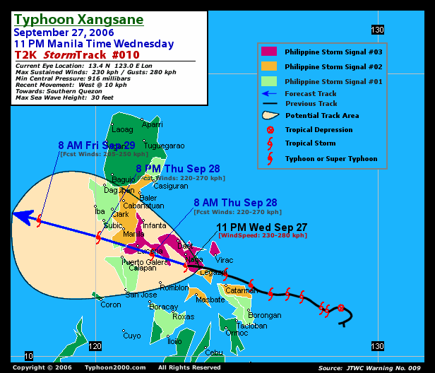
RECENT T2K TRACKING CHART:
________________________
RECENT MTSAT-1R SATELLITE IMAGE:

> Image source: Digital-Typhoon.org (Nat'l. Institute of Informatics) (http://www.digital-typhoon.org )
__________________________________________________________________________________________
NOTES:
> Image source: Digital-Typhoon.
^ - JTWC commentary remarks (for Meteorologists) from their
latest warning.
latest warning.
* - Based on PAGASA's Philippine Storm Warning Signals,
# 4 being the highest. Red letters indicate new areas
being hoisted. For more explanations on these signals,
visit: http://www.typhoon2000.ph/signals.htm
** - Based on the Tropical Cyclone's Wave Height near
its center.
__________________________________________________________________________________________
>> To know the meteorological terminologies and acronyms
used on this update visit the ff:
http://typhoon2000.ph/tcterm.htm
http://www.nhc.noaa.gov/aboutgloss.shtml
http://www.srh.noaa.gov/oun/severewx/glossary.php
http://www.srh.weather.gov/fwd/glossarynation.html
http://www.nhc.noaa.gov/acronyms.shtml
__________________________________________________________________________________________
:: Typhoon2000.com (T2K) Mobile >> Powered by: Synermaxx
Receive the latest storm updates directly to your mobile phones! To know more:
Send T2K HELP to: 2800 (GLOBE & TM) | 216 (SMART & TNT) | 2288 (SUN)
Note: Globe & Smart charges P2.50 per message, while Sun at P2.00.
__________________________________________________________________________________________
For the complete details on TS 18W (MILENYO)...go visit
our website @:
> http://www.typhoon2000.com
> http://www.maybagyo.com
# 4 being the highest. Red letters indicate new areas
being hoisted. For more explanations on these signals,
visit: http://www.typhoon2
** - Based on the Tropical Cyclone's Wave Height near
its center.
____________
>> To know the meteorological terminologies and acronyms
used on this update visit the ff:
http://typhoon2000.
http://www.nhc.
http://www.srh.
http://www.srh.
http://www.nhc.
____________
:: Typhoon2000.
Receive the latest storm updates directly to your mobile phones! To know more:
Send T2K HELP to: 2800 (GLOBE & TM) | 216 (SMART & TNT) | 2288 (SUN)
Note: Globe & Smart charges P2.50 per message, while Sun at P2.00.
For the complete details on TS 18W (MILENYO)...
our website @:
> http://www.typhoon2
> http://www.maybagyo
Change settings via the Web (Yahoo! ID required)
Change settings via email: Switch delivery to Daily Digest | Switch format to Traditional
Visit Your Group | Yahoo! Groups Terms of Use | Unsubscribe
SPONSORED LINKS
New Message Search
Find the message you want faster. Visit your group to try out the improved message search.
.
__,_._,___

No comments:
Post a Comment