Typhoon2000 STORM UPDATE #013
Name: TYPHOON SEPAT [EGAY/09W/0708]
Issued: 7:00 AM MANILA TIME (23:00 GMT) SUN 19 AUGUST 2007
Next Update: 7:00 PM (11:00 GMT) SUN 19 AUGUST
Source: JTWC TROPICAL CYCLONE WARNING #027
Next Update: 7:00 PM (11:00 GMT) SUN 19 AUGUST
Source: JTWC TROPICAL CYCLONE WARNING #027
_______________________________________________________________________
TYPHOON SEPAT (EGAY) IS NOW MAKING LANDFALL OVER SOUTH-
EASTERN CHINA...JUST A CATEGORY 1 SYSTEM...RAPID WEA-KENING EXPECTED TODAY. STRONG WINDS AND LIGHT RAINS
LASHING THE CITIES OF FUZHOU AND XIAMEN.
+ FORECAST OUTLOOK: SEPAT will continue moving across the
+ FORECAST OUTLOOK: SEPAT will continue moving across the
SE part of China and dissipate in 24 hours.
+ EFFECTS: SEPAT's core (eyewall & eye) almost gone as its
+ EFFECTS: SEPAT's core (eyewall & eye) almost gone as its
now well over SE China...Typhoon-force winds with moderate
rains continues to be felt across the area. Meanwhile, its
inner rainbands remains over the Western Coast of Taiwan
and over Taiwan Strait - stormy conditions will continue
to prevail through the day. SEPAT's outer rainbands on
the other hand, continues to spread across Taiwan, Batanes
Group, parts of Eastern & Southern China. Cloudy skies
with occasionally light & moderate to sometimes heavy
rainfall and strong winds of up to 60 km/hr can be expec-
ted along these bands. Coastal Storm Surge flooding of 04
to 05 feet above normal tide levels...along with large and
dangerous battering waves can be expected near and to the
north of SEPAT's projected path particularly along the
coastal areas of Taiwan and Southeastern China. Flash
floods and mudslides are imminent along river banks,
low-lying and mountainous regions of the affected areas.
Precautionary measures must be initiated as the powerful
system moves inland.
+ CURRENT MONSOON INTENSITY: The Southwest (SW) Monsoon
+ CURRENT MONSOON INTENSITY: The Southwest (SW) Monsoon
remains strong as it continues to be enhanced (pulled) by
SEPAT. Cloudy skies with light to moderate & sometimes heavy
rainfall & SW'ly winds of 20 km/hr or higher can be expected
today along Western Luzon - becoming more frequent over
Ilocos Provinces, La Union, Pangasinan, Zambales, Benguet,
Tarlac, Pampanga & Metro Manila. Mudslides and flooding is
likely along river banks, low-lying & flood-prone areas of
the affected areas.
Important Note: Please keep in mind that the above forecast
outlook, effects & current monsoon intensity, and tropical
cyclone watch changes every 06 to 12 hours!
____________
TIME/DATE: 5:00 AM MANILA TIME (21:00 GMT) 19 AUGUST
LOCATION OF EYE: LATITUDE 25.2º N...LONGITUDE 118.6º E
DISTANCE 1: 620 KM (337 NM) NNW OF BASCO, BATANES, PH
DISTANCE 2: 95 KM (50 NM) NE OF XIAMEN, CHINA
DISTANCE 3: 120 KM (65 NM) SW OF FUZHOU, CHINA
DISTANCE 4: 305 KM (165 NM) WEST OF TAIPEI, TAIWAN
MAX SUSTAINED WINDS [1-MIN AVG]: 120 KM/HR (65 KTS)DISTANCE 4: 305 KM (165 NM) WEST OF TAIPEI, TAIWAN
PEAK WIND GUSTS: 150 KM/HR (80 KTS)
SAFFIR-SIMPSON SCALE: CATEGORY ONE (1)
MINIMUM CENTRAL PRESSURE (est.): 974 MILLIBARS (hPa)
RECENT MOVEMENT: NW @ 13 KM/HR (07 KTS)
GENERAL DIRECTION: SOUTHEASTERN CHINA
STORM'S SIZE (IN DIAMETER): 685 KM (370 NM)/LARGE
MAX WAVE HEIGHT**: 14 FEET (4.2 METERS)
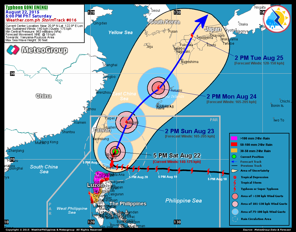
VIEW T2K TRACKING MAP: 5 AM MANILA TIME SUN AUGUST 19
TSR WIND PROBABILITIES: CURRENT TO 24 HRS LEAD
PHILIPPINE STORM SIGNALS*:
#01 - NOW LOWERED.
12 & 24 HR. FORECAST:
2 PM (06 GMT) 19 AUGUST: 26.0N 117.9E / 85-100 KPH / NW @ 11 KPH
2 AM (18 GMT) 20 AUGUST: 26.8N 116.8E / 35-55 KPH / .. @ .. KPH
REMARKS: 2 AM (18 GMT) 19 AUGUST POSITION: 24.9N 118.9E.
^...(more)
>> SEPAT {pronounced: se~pa~t}, meaning: A fresh water fish
with small climbing perch, is often found in rivers, swampy
areas with a lot of weeds and paddy fields. Name contributed
by: Malaysia.
_______________________________________________________________________
by: Malaysia.
____________
_______________________________________________________________________
RECENT T2K TRACKING CHART:
RECENT T2K TRACKING CHART:
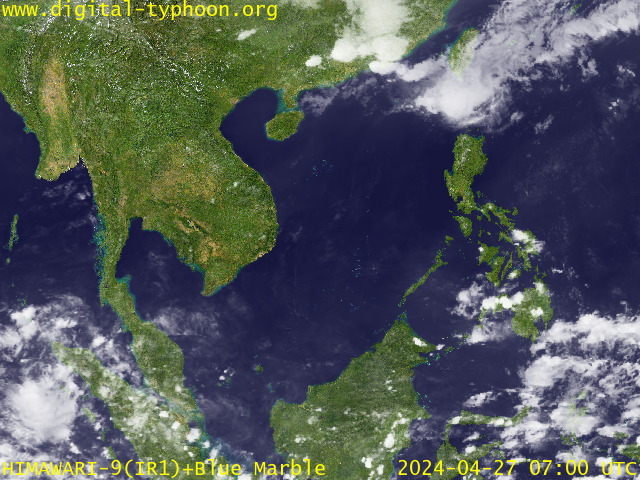
RECENT MTSAT-1R SATELLITE IMAGE:

> Image source: Digital-Typhoon.org (http://www.digital-typhoon.org )
__________________________________________________________________________________________
NOTES:

> Image source: Digital-Typhoon.
^ - JTWC commentary remarks (for Meteorologists) from their
latest warning.
latest warning.
* - Based on PAGASA's Philippine Storm Warning Signals,
# 4 being the highest. Red letters indicate new areas
being hoisted. For more explanations on these signals,
visit: http://www.typhoon2000.ph/signals.htm
** - Based on the Tropical Cyclone's Wave Height near
its center.
__________________________________________________________________________________________
>> To know the meteorological terminologies and acronyms
used on this update visit the ff:
http://typhoon2000.ph/tcterm.htm
http://www.nhc.noaa.gov/aboutgloss.shtml
http://www.srh.noaa.gov/oun/severewx/glossary.php
http://www.srh.weather.gov/fwd/glossarynation.html
http://www.nhc.noaa.gov/acronyms.shtml
__________________________________________________________________________________________
:: Typhoon2000.com (T2K) Mobile >> Powered by: Synermaxx
Receive the latest storm updates directly to your mobile phones! To know more:
Send T2K HELP to: 2800 (GLOBE & TM) | 216 (SMART & TNT) | 2288 (SUN)
Note: Globe & Smart charges P2.50 per message, while Sun at P2.00.
__________________________________________________________________________________________
For the complete details on TY SEPAT (EGAY)...go visit
our website @:
> http://www.typhoon2000.com
> http://www.maybagyo.com
# 4 being the highest. Red letters indicate new areas
being hoisted. For more explanations on these signals,
visit: http://www.typhoon2
** - Based on the Tropical Cyclone's Wave Height near
its center.
____________
>> To know the meteorological terminologies and acronyms
used on this update visit the ff:
http://typhoon2000.
http://www.nhc.
http://www.srh.
http://www.srh.
http://www.nhc.
____________
:: Typhoon2000.
Receive the latest storm updates directly to your mobile phones! To know more:
Send T2K HELP to: 2800 (GLOBE & TM) | 216 (SMART & TNT) | 2288 (SUN)
Note: Globe & Smart charges P2.50 per message, while Sun at P2.00.
For the complete details on TY SEPAT (EGAY)...go visit
our website @:
> http://www.typhoon2
> http://www.maybagyo
Change settings via the Web (Yahoo! ID required)
Change settings via email: Switch delivery to Daily Digest | Switch format to Traditional
Visit Your Group | Yahoo! Groups Terms of Use | Unsubscribe
SPONSORED LINKS
.
__,_._,___

No comments:
Post a Comment