Typhoon2000 STORM UPDATE #010
Name: TYPHOON SEPAT [EGAY/09W/0708]
Issued: 7:00 PM MANILA TIME (11:00 GMT) FRI 17 AUGUST 2007
Next Update: 7:00 AM (23:00 GMT) SAT 18 AUGUST
Source: JTWC TROPICAL CYCLONE WARNING #021
Next Update: 7:00 AM (23:00 GMT) SAT 18 AUGUST
Source: JTWC TROPICAL CYCLONE WARNING #021
_______________________________________________________________________
SEPAT (EGAY) NO LONGER A SUPER TYPHOON AS IT WEAKENED TO
220 KM/HR...NOW AT ITS CLOSEST APPROACH TO BATANES GROUP.
RAINBANDS STILL SPREADING ACROSS EXTREME NORTHERN LUZON
AND THE REST OF TAIWAN
...NOW A VERY LARGE SYSTEM, 1,000naturally observed in intense tropical cyclones (category
3 and up) wherein a new eyewall will form & replace the
current eyewall as it starts decaying. Click here for
more details.
+ FORECAST OUTLOOK: SEPAT is expected to maintain its
+ FORECAST OUTLOOK: SEPAT is expected to maintain its
Category 4 strength for the next 6 to 12 hours and shall
approach the Southeastern Coast of Taiwan tonight. SEPAT
shall hit land or make landfall over Southeastern Taiwan
at approx 6-7 AM HK Time and cross the mountainous terrain
of South Central Taiwan. This intense system shall weaken
considerably while over Taiwan and shall move back to sea
Saturday afternoon (Taiwan Strait) as a downgraded Category
2 typhoon. The 2 to 3-day forecast shows SEPAT making its
last landfall over Southeastern China early morning Sunday
(Aug 19) around 2-3 AM - passing just to the northeast of
Xiamen City as a weak typhoon (140 km/hr). SEPAT shall di-
ssipate over the mountainous region of China on Monday
afternoon, Aug 20.
+ EFFECTS: SEPAT's outer rainbands continues to spread
+ EFFECTS: SEPAT's outer rainbands continues to spread
across the provinces of Ilocos, Abra, Kalinga, Apayao,
Batanes & Calayan Group, Cagayan, Northern Aurora &
Isabela - and has now reached the whole of Taiwan. Cloudy
skies with passing occasionally light & moderate to
sometimes heavy rainfall and strong winds of up to 60 km/hr
can be expected along these bands. Meanwhile, large waves
can also be observed along the coastline of Northern &
Eastern Luzon (from Cagayan down to Bicol Peninsula).
Stormy weather will continue to prevail tonight over
Calayan, Babuyan and Batanes Group of Islands as the
typhoon's inner spiral rainbands remains over the area.
Coastal Storm Surge flooding of more than 13 to 18 feet
above normal tide levels...along with large and dangerous
battering waves can be expected near and to the north of
SEPAT's projected path particularly along the Southern and
Eastern Coasts of Taiwan including Extreme Northern Luzon.
Flash floods and mudslides are imminent along river banks,
low-lying and mountainous regions of the affected areas.
Precautionary measures must be initiated as the powerful
system moves closer.
+ CURRENT MONSOON INTENSITY: The Southwest (SW) Monsoon
+ CURRENT MONSOON INTENSITY: The Southwest (SW) Monsoon
remains strong as it continues to be enhanced (pulled) by
SEPAT. Cloudy skies with light to moderate & sometimes
heavy rainfall & SW'ly winds of 20 km/hr or higher can be
expected tonight along Luzon and Western Visayas - becoming
more frequent over the Western sections of Luzon including
Metro Manila, Southern Quezon, Batangas, Laguna, Rizal,
Bulacan, Cavite, Ilocos Sur, La Union, Pangasinan, Zambales,
Benguet, Ifugao, Tarlac, Pampanga, Mindoro, Calamian Group,
Romblon, Western Bicol, Western Panay & Boracay Island
Resort. Mudslides and flooding is likely along river
banks, low-lying & flood-prone areas of the affected areas.
Important Note: Please keep in mind that the above forecast
outlook, effects & current monsoon intensity, and tropical
cyclone watch changes every 06 to 12 hours!
____________
TIME/DATE: 5:00 PM MANILA TIME (09:00 GMT) 17 AUGUST
LOCATION OF EYE: LATITUDE 21.3º N...LONGITUDE 123.0º E
DISTANCE 1: 135 KM (73 NM) NE OF BASCO, BATANES, PH
DISTANCE 2: 355 KM (192 NM) NNE OF APARRI, CAGAYAN, PH
DISTANCE 3: 315 KM (170 NM) ESE OF KAOSHIUNG, TAIWAN
DISTANCE 4: 335 KM (182 NM) SSE OF HUALIEN, TAIWAN
MAX SUSTAINED WINDS [1-MIN AVG]: 220 KM/HR (120 KTS)DISTANCE 4: 335 KM (182 NM) SSE OF HUALIEN, TAIWAN
PEAK WIND GUSTS: 270 KM/HR (145 KTS)
SAFFIR-SIMPSON SCALE: CATEGORY FOUR (4)
MINIMUM CENTRAL PRESSURE (est.): 933 MILLIBARS (hPa)
RECENT MOVEMENT: NW @ 19 KM/HR (10 KTS)
GENERAL DIRECTION: TAIWAN
STORM'S SIZE (IN DIAMETER): 1,000 KM (540 NM)/VERY LARGE
MAX WAVE HEIGHT**: 40 FEET (12.1 METERS)
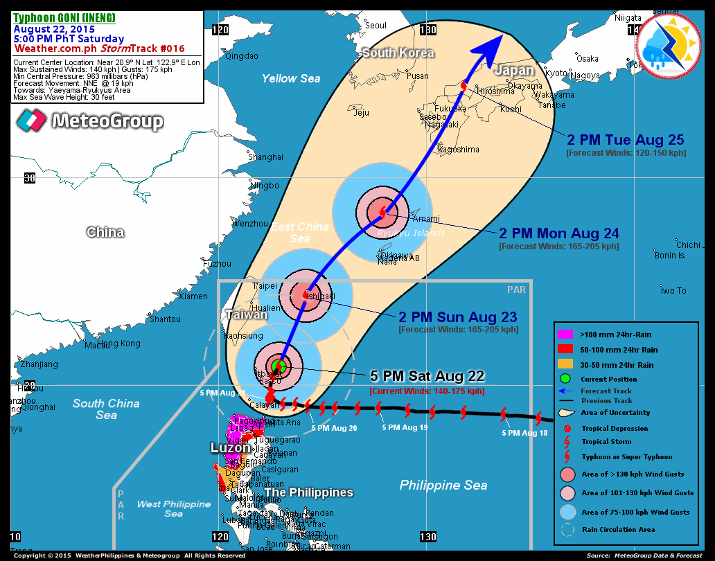
VIEW T2K TRACKING MAP: 5 PM MANILA TIME FRI AUGUST 17
TSR WIND PROBABILITIES: CURRENT TO 72 HRS LEAD
PHILIPPINE STORM SIGNALS*:
#03 - BATANES GROUP OF ISLANDS.
#02 - BABUYAN ISLANDS.
#01 - CAGAYAN, ISABELA, NORTHERN AURORA, KALINGA, APAYAO,
ILOCOS NORTE, & ABRA.
12, 24 & 48 HR. FORECAST:
2 AM (18 GMT) 18 AUGUST: 22.4N 121.8E / 205-250 KPH / NW @ 19 KPH
2 PM (06 GMT) 18 AUGUST: 23.7N 120.2E / 165-205 KPH / NW @ 15 KPH
2 PM (06 GMT) 19 AUGUST: 25.5N 117.7E / 100-130 KPH / WNW @ 11 KPH
REMARKS: 2 PM (06 GMT) 17 AUGUST POSITION: 21.0N 123.4E.
^SUPER TYPHOON (STY) 09W (SEPAT) HAS WEAKENED SLIGHTLY OVER
THE PAST 12 HOURS DUE TO AN EYEWALL REPLACEMENT CYCLE. ALTHOUGH
THIS WEAKENING HAS BEEN OBSERVED, THE STORM HAS MAINTAINED SUPER
TYPHOON INTENSITY FOR THE LAST 48 HOURS. THE STORM HAS CONTINUED
TO TRACK OVER WATER WITH HIGH OCEAN HEAT CONTENT AND IT HAS MAIN-
TAINED GOOD EQUATORWARD OUTFLOW. THE STORM HAS CONTINUED TO TRACK
GENERALLY NORTHWESTWARD TO NORTH-NORTHWESTWARD BETWEEN 10 TO 11
KNOTS ALONG THE SOUTHWESTERN PERIPHERY OF A SUBTROPICAL STEERING
RIDGE TO THE NORTH AND EAST...(more)
>> SEPAT {pronounced: se~pa~t}, meaning: A fresh water fish
with small climbing perch, is often found in rivers, swampy
areas with a lot of weeds and paddy fields. Name contributed
by: Malaysia.
_______________________________________________________________________
PAGASA CURRENT POSITION, MOVEMENT AND INTENSITY (10-min. ave.):
by: Malaysia.
____________
PAGASA CURRENT POSITION, MOVEMENT AND INTENSITY (10-min. ave.):
> 4 PM (08 GMT) 17 AUGUST: 21.0N 123.3E / NW @ 19 KPH / 205 kph
:: For the complete PAGASA bulletin, kindly visit their website
at: http://www.pagasa.dost.gov.ph/wb/tcupdate.shtml
:: For the complete PAGASA bulletin, kindly visit their website
at: http://www.pagasa.
_______________________________________________________________________
RECENT T2K TRACKING CHART:
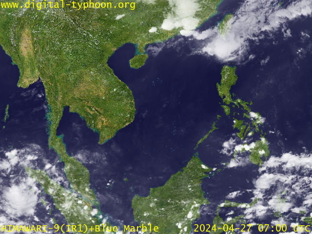
RECENT MTSAT-1R SATELLITE IMAGE:

> Image source: Digital-Typhoon.org (http://www.digital-typhoon.org )
__________________________________________________________________________________________
NOTES:

> Image source: Digital-Typhoon.
^ - JTWC commentary remarks (for Meteorologists) from their
latest warning.
latest warning.
* - Based on PAGASA's Philippine Storm Warning Signals,
# 4 being the highest. Red letters indicate new areas
being hoisted. For more explanations on these signals,
visit: http://www.typhoon2000.ph/signals.htm
** - Based on the Tropical Cyclone's Wave Height near
its center.
__________________________________________________________________________________________
>> To know the meteorological terminologies and acronyms
used on this update visit the ff:
http://typhoon2000.ph/tcterm.htm
http://www.nhc.noaa.gov/aboutgloss.shtml
http://www.srh.noaa.gov/oun/severewx/glossary.php
http://www.srh.weather.gov/fwd/glossarynation.html
http://www.nhc.noaa.gov/acronyms.shtml
__________________________________________________________________________________________
:: Typhoon2000.com (T2K) Mobile >> Powered by: Synermaxx
Receive the latest storm updates directly to your mobile phones! To know more:
Send T2K HELP to: 2800 (GLOBE & TM) | 216 (SMART & TNT) | 2288 (SUN)
Note: Globe & Smart charges P2.50 per message, while Sun at P2.00.
__________________________________________________________________________________________
For the complete details on STY SEPAT (EGAY)...go visit
our website @:
> http://www.typhoon2000.com
> http://www.maybagyo.com
# 4 being the highest. Red letters indicate new areas
being hoisted. For more explanations on these signals,
visit: http://www.typhoon2
** - Based on the Tropical Cyclone's Wave Height near
its center.
____________
>> To know the meteorological terminologies and acronyms
used on this update visit the ff:
http://typhoon2000.
http://www.nhc.
http://www.srh.
http://www.srh.
http://www.nhc.
____________
:: Typhoon2000.
Receive the latest storm updates directly to your mobile phones! To know more:
Send T2K HELP to: 2800 (GLOBE & TM) | 216 (SMART & TNT) | 2288 (SUN)
Note: Globe & Smart charges P2.50 per message, while Sun at P2.00.
For the complete details on STY SEPAT (EGAY)...go visit
our website @:
> http://www.typhoon2
> http://www.maybagyo
Change settings via the Web (Yahoo! ID required)
Change settings via email: Switch delivery to Daily Digest | Switch format to Traditional
Visit Your Group | Yahoo! Groups Terms of Use | Unsubscribe
SPONSORED LINKS
.
__,_._,___

No comments:
Post a Comment